Like our earlier piece on fall color, this post will be long on photos and short on text!
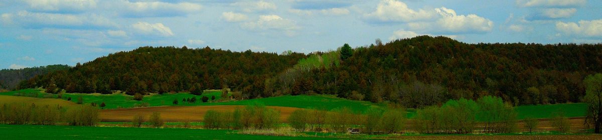
One of our favorite things to do on a cold winter day is to visit some of our favorite spots along the Mississippi. As the ice slowly freezes, the bald eagles that range along the river bluffs finally move south. The ice isn’t quite thick enough for fishing huts like the ones which will pop up on nearby lakes soon. But the cold, clear air and the striking blues of sky, ice and river make places that are usually filled with people look pristine.
The Mississippi River as view from Grant River Recreation areaMississippi River viewed from Potosi Point
A beaver dam as seen from Potosi Point
Of course, it’s really not as pristine as all that… you can find plenty of beaver dams, occasional deer running into the woods, and a few remaining waterfowl. But what I love the most is the deep blues of the water as it freezes.
These photos were all taken between (or in) the Grant River Recreation Area and Potosi Point.
A few remaining geese coming in for landing….
… and they’ve landed!
The road out onto Potosi PointWho says you can’t take pictures into the sun?
The Soo Line Railway (a subsidiary line of the Canadian Pacific) running along the Wisconsin shore. It crosses over from La Crescent, Minnesota up at La Crosse.
Looking north from Potosi PointOne last look south from the Point before I head home.
If you’re already taking a trip to Potosi, maybe to the Potosi Brewery as written about in our last article, why not keep going and drive out on to the Mississippi? I mean that literally: Potosi Point, one of my favorite places to go for some beautiful views, peace, and quiet, is less than a mile outside of town.
The Mississippi River shoreline as viewed from Potosi point in mid-November. Photo by Terry Burns.
How do you get there from the Potosi main drag?
Just keep driving down South Main Street, and the road will literally take you out to a boat launch on the Mississippi. The trick is, you have to take a little jog in the road as it goes out of town.
Cross the railroad,
go under the culvert,
and drive straight out!
You’ll see some railroad tracks running along the river, and need to take a left off of State Road 133 (which was the same as Main Street, but now separates off to the north.) Drive under a little culvert, which as you can see from the photo sometimes gets flooded) and be careful to watch for water. On the other side of the culvert, you’ll be on road that runs right out into the river.
You won’t have to search very hard to see wildlife ranging from cranes waiting for dinner or beavers building dams.
By late fall, beavers will be building dams on either side of the road. It’s also a good place to view cranes and other sea birds.
If you follow the road to the end, you’ll be at a little boat launch and viewing spot in the Upper Mississippi Wildlife Preserve called Potosi Point.
At the end of the road, you’ll be several hundred yards out into the Mississippi, near the main channel.
That’s all there is to it. Oh, and if you want some shade or forgot binoculars, there’s a nice little viewing pavillion where you can look downstream. Enjoy your trip!
Viewing pavilion faces downstream, the earlier photos faced upstream.