When I moved to southwest Wisconsin 25 years ago, what first struck me were the mounds. I don’t mean the smaller conical mounds, linear mounds, or effigy mounds, though we’ll road-trip to some of those soon enough. I mean the huge hills that stand out across the landscape to such a degree that if you’re on any ridge in the Driftless Region, you likely can see one of them.

Of course, there’s the ubiquitous Platteville Mound, above and bearing what is supposedly the world’s largest “M.” But it is only one of a huge and unexplained complex of mounds in the area. While these giant hillsides are natural formations, the “why” behind that formation– just like the “why” that this is the land the glaciers forgot– remains unknown. Most of these large mounds were sacred sites to indigenous peoples. And most obviously, they are the highest points in the area.

For instance, Charles Mound, one of the smaller mounds but one lying in the sliver of the Driftless Region in Illinois, is the highest natural point in that state at 1,235 feet. (The highest “non-natural” point in Illinois is Chicago’s Willis Tower, at 1,450 feet.)
From almost any ridge in the Driftless area, you can see one of the larger mounds; from the top of every larger mound, you can see a smaller mound. You can actually use the mounds to navigate around the Driftless Region, if you want to. . . and pre-GPS, many people wanted to.


For instance, the sight of one of the smaller mounds, the Belmont Mound (left), is what led settlers to create the first Wisconsin state capitol (right) almost in it’s shadow: the mound was an easy natural marker to find. Legislators actually met in one building (the one on the right) and slept in the other after they finished their business. This ended after a couple of years, when the capitol moved to Madison. Maybe legislators don’t make the best bedfellows!
If you spend as much time as we do road-tripping to different mounds, it’s hard not to start seeing connections between them, which is why I’m writing this introductory post about the “mound complex” rather than individual mounds. For instance, suppose you go to the highest spot in the Driftless Region, the top of the west end of one of the Blue Mounds.


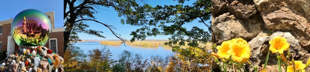
At 1,716 feet, this gorgeous view is also the highest point in southern Wisconsin and the entire Driftless Region. From the west observation tower of Blue Mound State Park, you get quite a view of some of the other Mounds in the area (as the sign to your left shows.) You can also get an awe-inspiring view of the landscape to the north, or look east and make out the faint outlines of our current state capitol in Madison. (The isthmus upon which our state capitol sits is on yet another sacred site, but that’s a blog post for a different time!)
Some of the mounds on the borders of the Driftless Region, like Elk Mound in northern Wisconsin, actually are made by glacial debris. Many, like the Sherrill Mound over in (surprise) Sherrill, Iowa, aren’t “officially” recognized (whatever that means); others, like the previously mentioned Blue Mound and Belmont Mound (WI) are part of state parks. (Blue Mounds is plural in this sentence but not in the preceding one because only one of the blue mounds is in the state park; there’s a second “Blue Mound,” slightly shorter at 1,490 feet, in a county park nearby.)
Many of the mounds are on private property. Some owners make it clear that you’d better not trespass. Others, like the owners of Charles Mound, let people visit certain times of the year only. In some places, like in Jo Davies county Illinois, home of Horseshoe Mound, a conservation organization has collected money to protect the mound from development.


The Dominican sisters at Sinsinawa Mound seem unique among mound property owners in recognizing and celebrating that these mounds likely were — or to Dominicans, are — on sacred ground. Sinsinawa’s signage points out that the native Americans who were their when Europeans arrived called it “Manitoumie,” meaning “land where the Spirit dwells,” probably a version of “Manitou.” As author Sister Mary Paynter, OP, pointed out, “It seems that manitou (or a variation) is fairly standard in the languages of native peoples who would have been in this southwest part of Wisconsin at various times– and the meaning is ‘Great Spirit’ or ‘God’ [in our Western Christian vocabulary].” Incidentally, Mary Paynter has done extensive research on the native history of the name “Sinsinawa;” we’ll look at her work more when we road-trip to the Sinsinawa Mound.
Native history in this area goes back nearly 2,000 years and involves multiple tribes, including the Fox, Sauk, Anishinaabe (Ojibwa), Ho-Chunk (Winnebago), Potowatomi, Dakota, and Mesquawki. This writer is not surprised that the lone native reference I can find to what native people called one of the mounds confirms that they saw at least one of them– and my guess would be all of them– as a sacred place.
One might easily guess that the abundance of smaller and definitely human-made mounds (the conical, linear, and effigy mounds which occur throughout Wisconsin but especially in the Wisconsin River valley in greater density than anywhere else in North America, and which make up Effigy Mounds National Monument in Iowa) might be also indirectly related to the lack of glaciers… yet almost all of those were made AFTER the surrounding ice melted. The larger mounds that are the subject of this article are much older: 10,000 years old as a minimum. Some of them, like the smaller mounds, look terraformed. Could they also have been made by native peoples? I’m no geologist, but my friend Dr. Rich Waugh is, so I decided to get the scoop from him. Did humans make these mounds?
The large mounds in southwest Wisconsin, Waugh says, were “most definitely made by natural forces, primarily erosion related to streams and slope processes.”
“None of this precludes human use of the Mound,” Waugh added. ” I would be amazed if Native Americans didn’t impart some meaning to the Mound.”
These huge hills are often pocked with caves and natural springs. They make for great hideaways, too! In my next post, I’ll show you one of my favorites, on the Platte “M” Mound.
Before I end this installment, though, I do want to suggest that these large mounds are more than haphazard markers on the landscape. They’re upwellings of geological energy and follow patterns. As my husband Alan and I road-tripped to more and more of the large mounds, we’ve noticed relations between them not often taught in local schools.
For instance, Alan noticed that the Blue Mound, Platteville Mound, and Sherrill Mound all line up exactly.

From the top of one, one a clear day, you can see the next one. That is, from the top of the Blue Mound’s west observatory tour (as noted in a graphic earlier), you can see the Platte or Platteville Mound (and know that, lined up behind it on the other side of the Mississippi River is the Sherill Mound. From the Platte Mound, you can see the Sherrill Mound. And from the Sherrill Mound (see below) you can see the Platteville Mound (and know that, lined up behind it, is the tallest of the Blue Mounds.


The Blue Mound-Platte Mound-Sherrill Mound line isn’t the only one. Several years ago, conservationists in Jo Davies county Illinois opened up the Horseshoe Mound for viewing. Clearly the people who designed the new park knew the mound well, and had watched natural phenomena on it for years, because on the top they’ve created a round circle showing where on the horizon the sun rises and sets on the winter and summer solstices. Turns out, the sun sets right between Iowa’s Sherrill and Balltown mounds. To the right, you can see the view with the naked eye, but below is what it looks if you zoom in. We thought it was pretty cool how the conservationists in Jo Davies county set things up so that you have a variety of views labeled, in a sundial-like pavillion.


You can draw similar geographic connections between some of the smaller mounds. And yes, right now I’m mainly writing about the mounds nearest to me… I haven’t moved very far north at all. For instance, so far, I’ve totally ignored the Minnesota Driftless Region, though I will get to that eventually.
But for now, let’s start day-tripping! First stop: the Platte “M” Mound.
If you like what you read, why not subscribe?